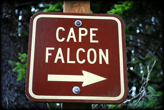
Cape Falcon & Smuggler's Cove
Oswald West State Park
Oregon Coast
 |
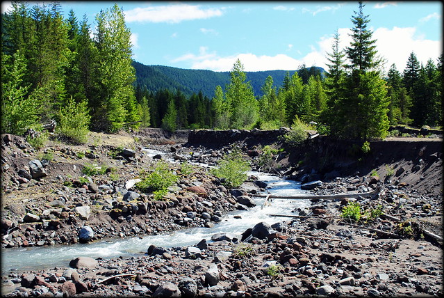
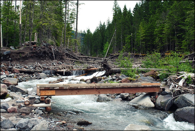
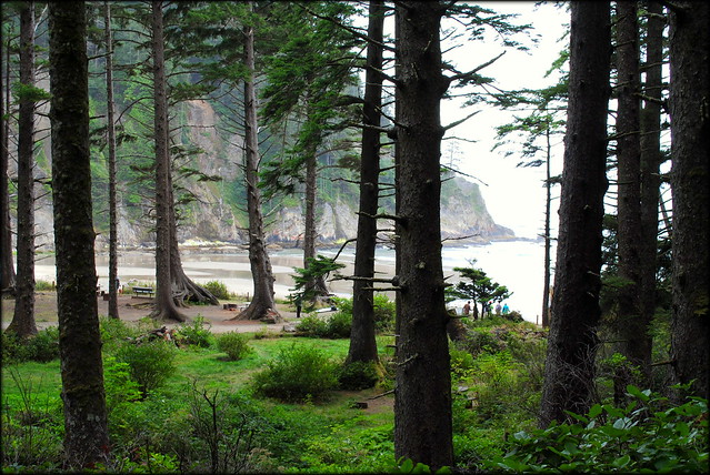
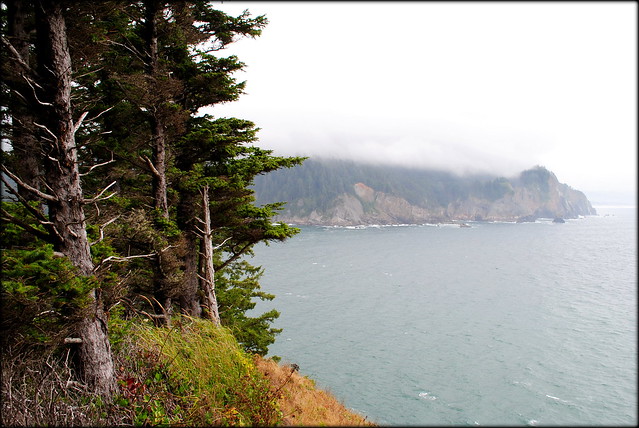
| a view of Smuggler's Cove from the Cape Falcon trail - Oregon Coast |
Back in early February 2012 (Super Bowl Sunday, in fact) my wife and I made a day trip out to the Oregon Coast on a surprisingly warm and sunny day. Our intent was to visit Oswald West State Park's Smuggler's Cove (aka Short Sand Beach), hike out to Cape Falcon, eat some chowder and Fish & Chips at Ecola Seafood, and watch the sunset from Cannon Beach. We did all of these things BUT hike out to Cape Falcon. Hiking in the wet Oregon Coast during the rainiest time of the year (winter) can leave you ankle deep in mud; and my wife and I encountered some of the gnarliest mud bogs we've ever seen on a hike. Not wanting to spend the rest of the day with mud caked all over our shoes, we decided to save that hike for a later, drier day. And that day was today, Saturday September 8, 2012.
 The first thing I noticed when driving out to the coast today was the climate. Oddly enough it felt colder today, in early September, than it did seven months ago in early February! A lot rides on the presence of the sun when dealing with the climate on the Oregon Coast. If the sun had been out today, the temperature probably would have been about 5-10 degrees warmer. But without the sun, you can feel that damp bite in the air from the ocean breeze and that flannel shirt stays on. I brought my swimsuit with me today to take a dip in the ocean after my hike. No sun? Probably not happening.
 |
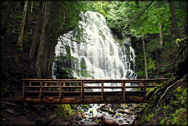
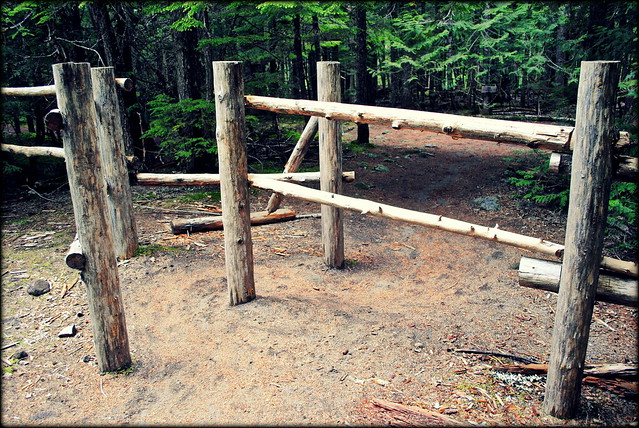
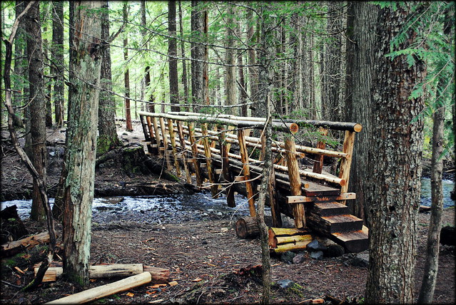
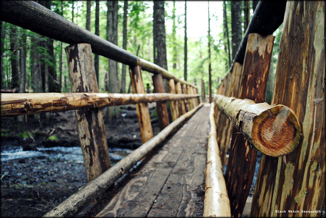
| Trail to the beach starts under the bridge |
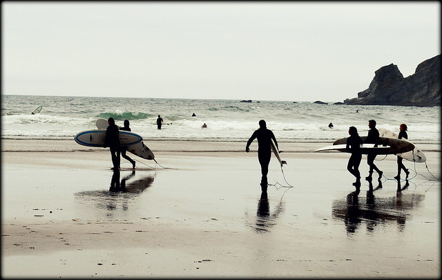
Here are some photos of Smuggler's Cove's Short Sand Beach.
 |
| Short trail leading down to the beach |
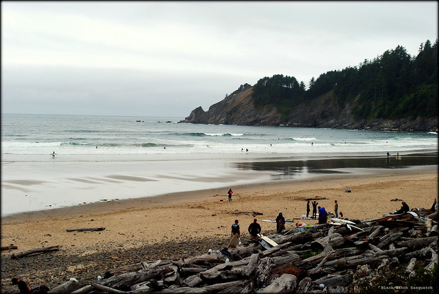 |
| Smuggler's Cove's Short Sand Beach |
 |
| Smuggler's Cove's Short Sand Beach |
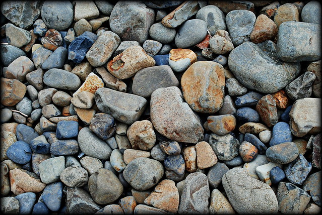 |
| Rocks on Smuggler's Cove's Short Sand Beach |
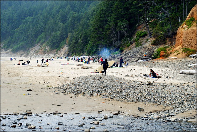 |
| Bonfires and Beach Bums on Smuggler's Cove's Short Sand Beach |
 |
| Smuggler's Cove's Short Sand Beach |
 |
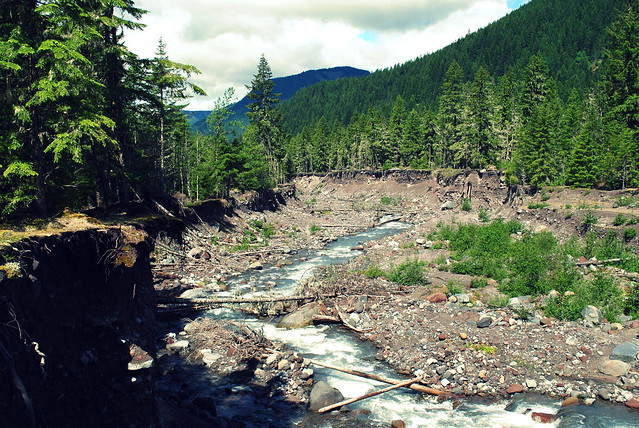
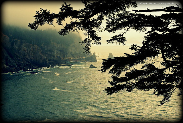
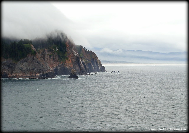
| View down to the ocean from the Cape Falcon trail |
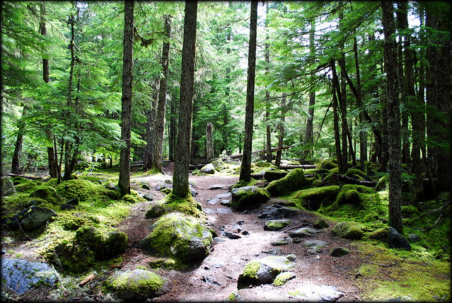
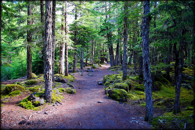
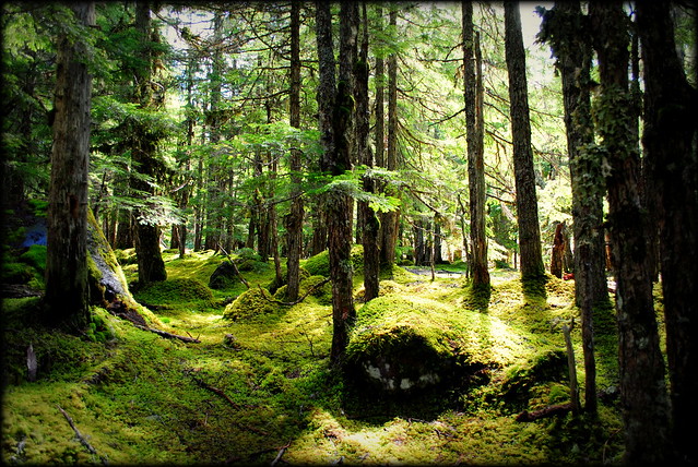
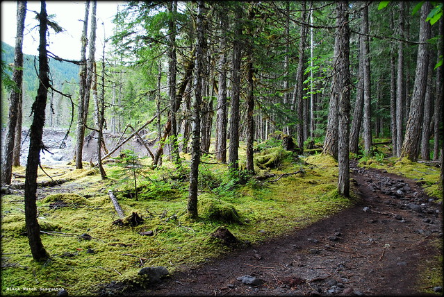
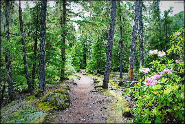
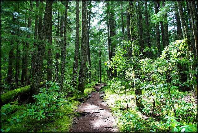
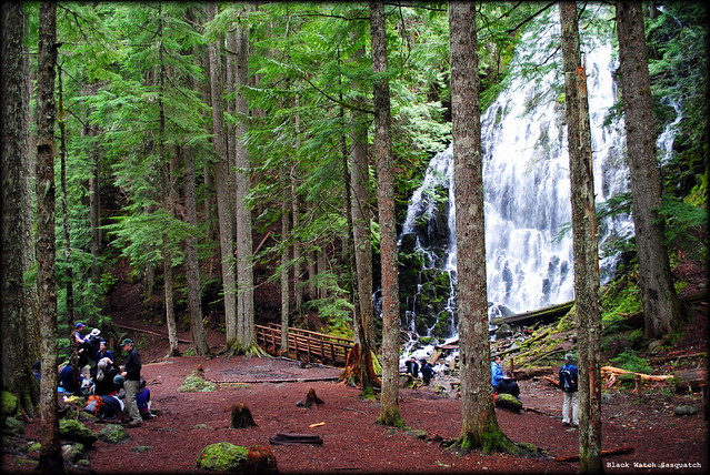
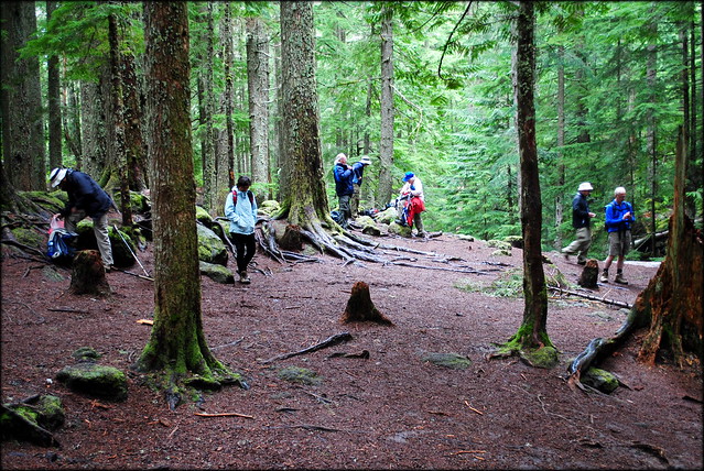
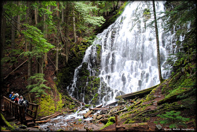
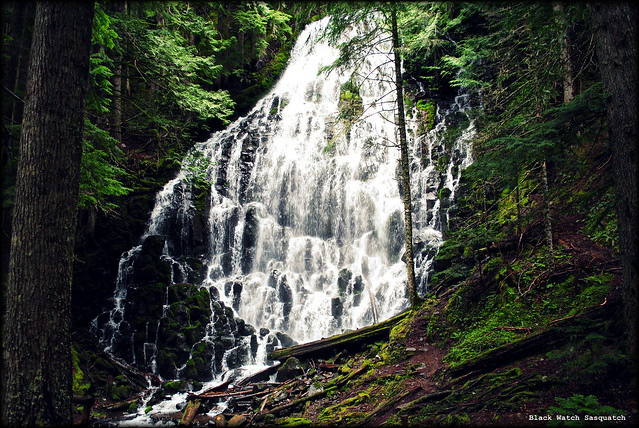
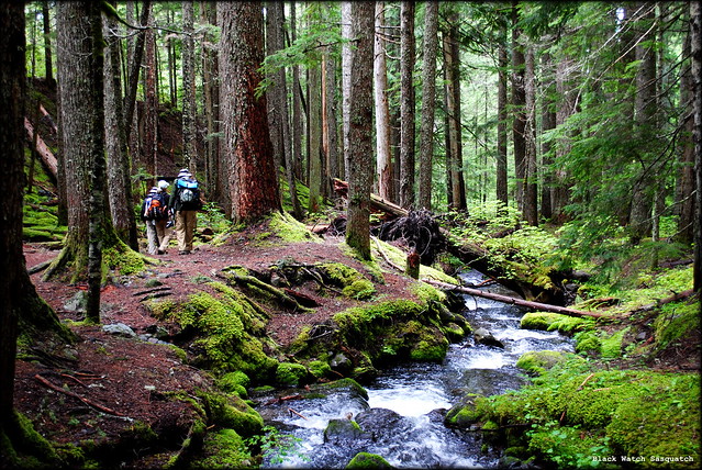
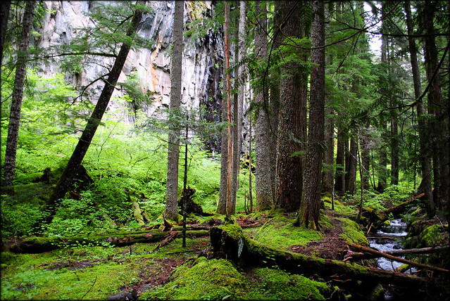
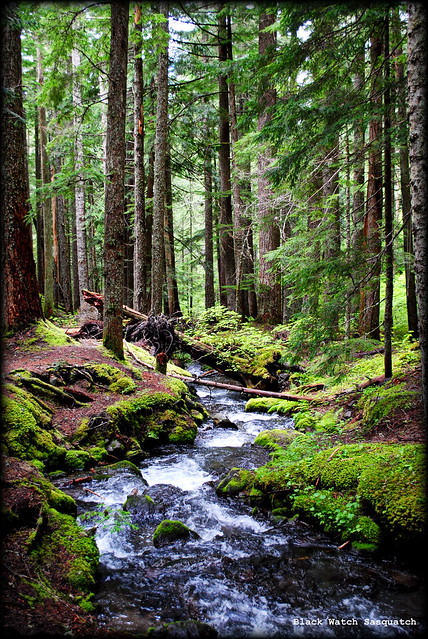
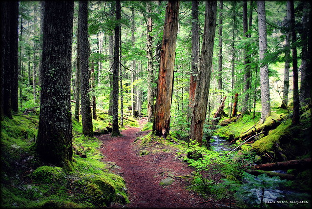
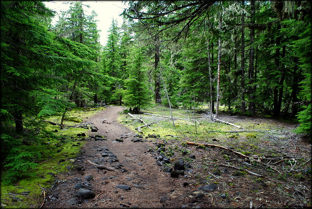
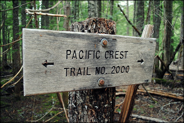
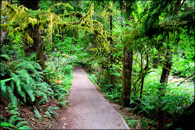
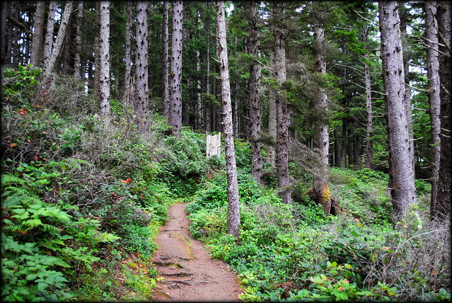
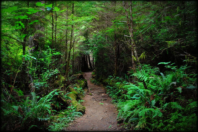
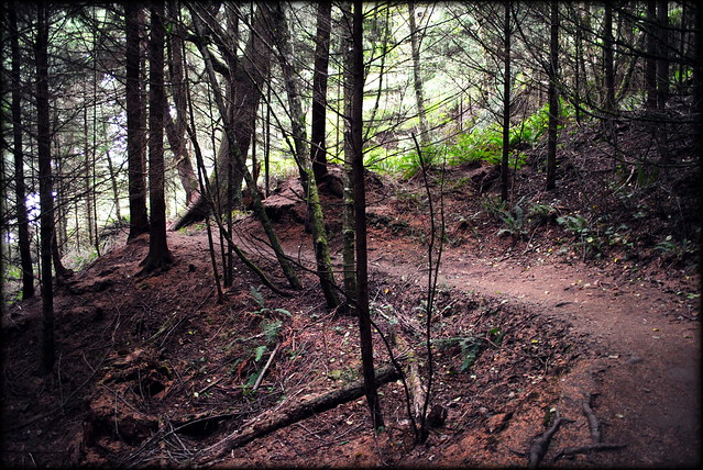
You'll find the trailhead to Cape Falcon right at the top of the path leading up from the beach to the picnic area. Within moments you'll feel as if you're miles away from the beach's crowds. You'll travel through some dark forest on your way out to the cape, especially if it's an overcast day. The forest was so dark at certain parts that my camera almost didn't want to take photos without the flash. The dark forest, mixed together with the thick and towering spruces lend a very surreal, fantastical element to this hike, as if at any moment you're going to happen upon a troll guarding a bridge or something.
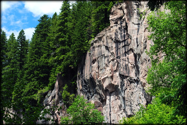
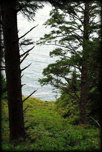
Once you're about half way to Cape Falcon you'll begin to see the ocean down below to your left through the spruces. Such a beautiful sight! And it only gets better! Resist the urge to stop and take photos of the forested cliffs across the cove at every opening along the hike. The best views come at the very end.
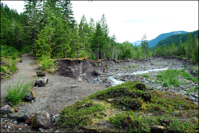
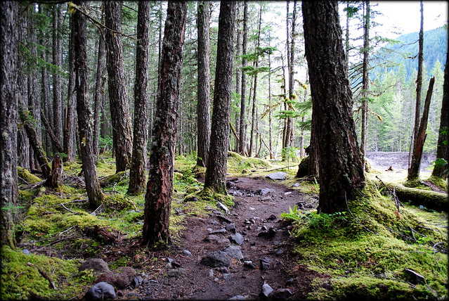
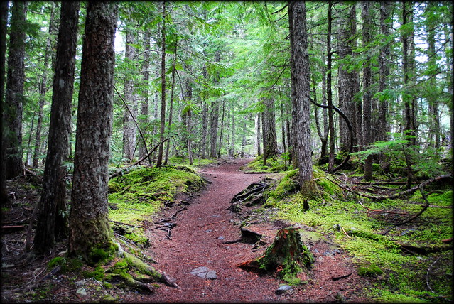
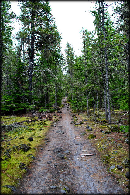
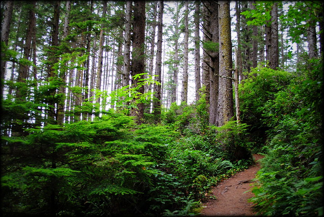
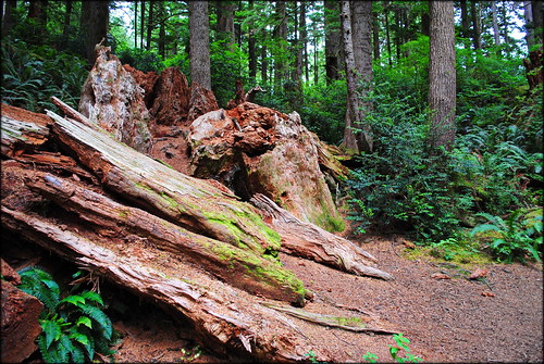
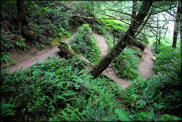
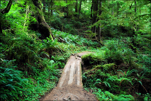
Here are some photos of what scenery to expect along the trail:
 |
| Cape Falcon trail |
 |
| View of Smuggler's Cove from Cape Falcon trail |
 |
| Cape Falcon trail |
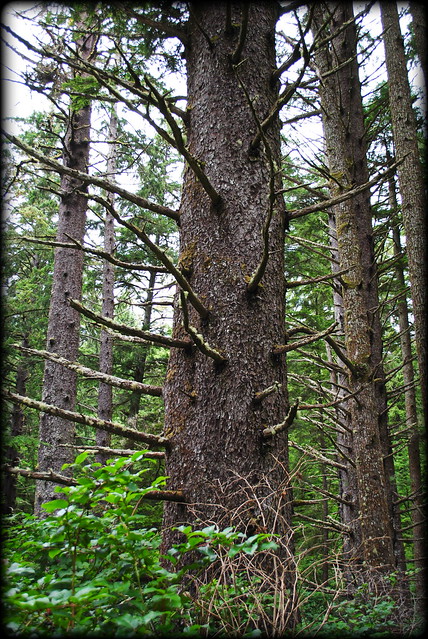 |
| Giant Sitka Spruce on Cape Falcon trail |
 |
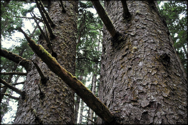
| Cape Falcon trail |
 |
| Cape Falcon trail |
 |
| Cape Falcon trail |
 |
| Cape Falcon trail |
 |
| Cape Falcon trail |
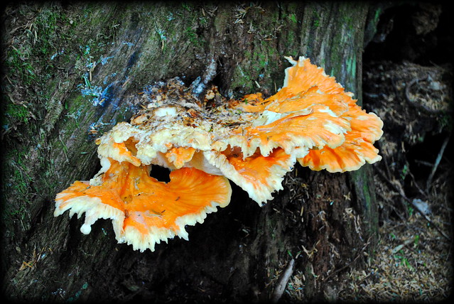 |
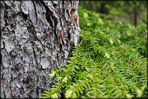
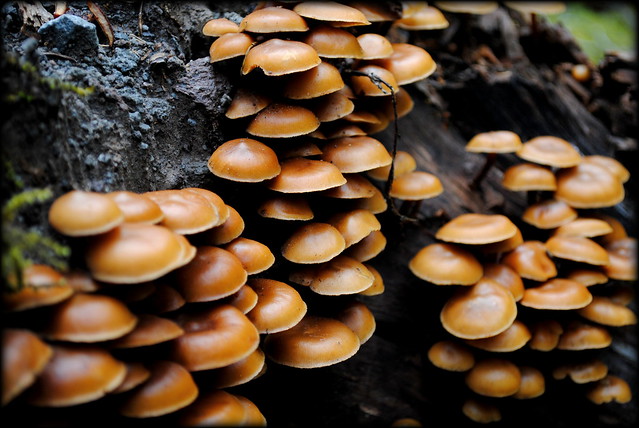
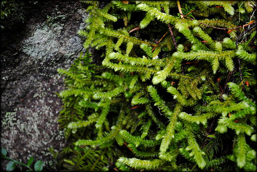
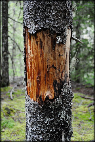
| Bizarre fungus along the Cape Falcon trail |
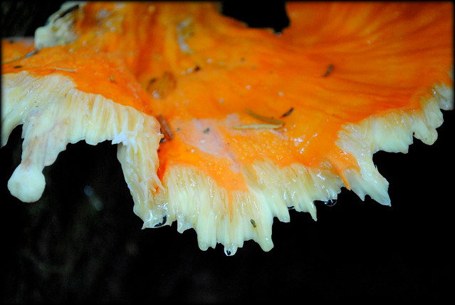 |
| Bizarre fungus along the Cape Falcon trail |
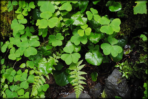
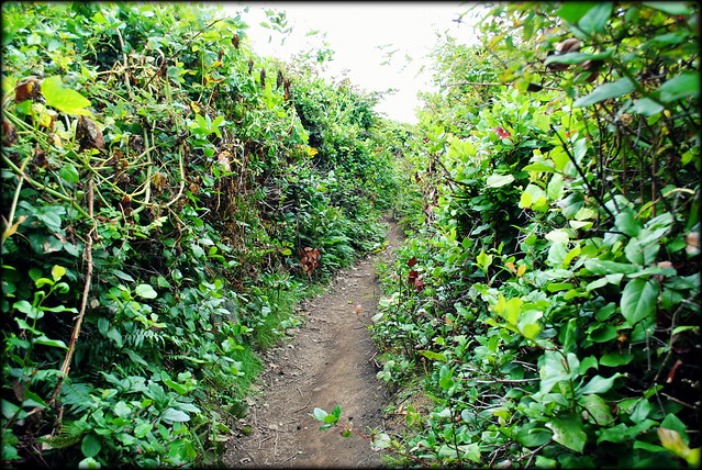
When you're almost to the end of Cape Falcon you'll find yourself winding up through what appears to be a narrow natural hallway carved out of thick, twisted, gnarled shrubbery. I'm not entirely certain what this plant is that covers the earth out here on the cape, but my goodness it's thick. I give props to whomever carved the path through this stuff. There's no straying off the path here- you couldn't if you tried. You'd just be stuck like a mosquito in a spider web.
Here's what I'm talking about:
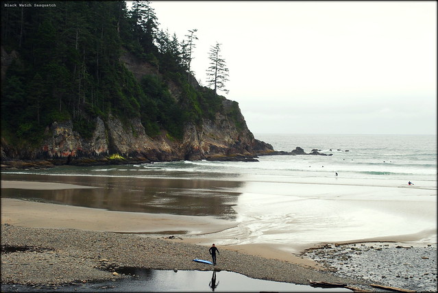
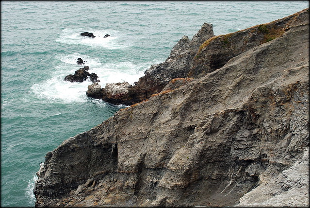
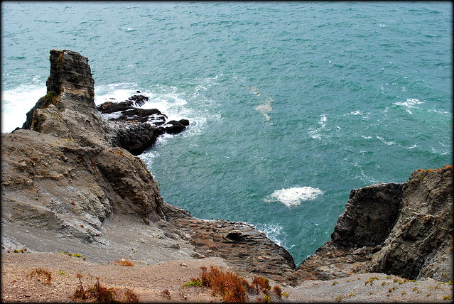
When you exit this hallway of shrubbery you'll come out upon the end of Cape Falcon. A sloped cliff drops away down to the ocean below, where the surf blasts against the rock on a wavy day. There are a few great places to sit and take in the scenery and eat that granola bar you're packing. I spent nearly a half hour just sitting out here staring out into the ocean and the forested cliffs across the cove. I remembered why this place is called Smuggler's Cove and tried to imagine a seventeenth century ship anchored hundreds of yards out while members of its crew took the ship's booty ashore aboard a dingy to have it buried in a safe place somewhere in the state park, a place so safe that apparently nobody to this day has found it (if it even exists, of course) although hundreds per year still look. Although it is more than likely a mere fable and legend, the kid in me wants to imagine it anyway.
Here is the view from Cape Falcon. If it were a clearer day you'd be able to see Neahkahnie Mountain, which I will return to photograph in the future.
Afterward:
I had multiple motives for heading west to the coast today. Not only did I want to finally complete the hike to Cape Falcon, but I also wanted to start exploring the stretch of the Oregon Coast between Cannon Beach to the north and Tillamook to the south- primarily targeting Oswald West State Park and the coastal towns in the Nehalem Bay area. I want to further acquaint myself with this stretch of coastline. I have spent a lot of time in the northern-most portion of the coast, including Cannon Beach, Seaside, and Astoria, but I really haven't explored the Nehalem Bay area as much as I'd like to.
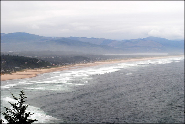 |
| View of Manzanita and the Nehalem Bay area from a Hwy 101 scenic turnout |
I am in search of that beach town that I return to year after year, that I know like the back of my hand, where I can sample the life of a local. Having grown up in a small town myself, I long to have a small coastal Oregon town that I become a regular at; a particular beach, restaurant, pub, coffee shop, used bookshop etc. Could take me years to find, and countless trips out to the coast. But I'll find it.
When traveling via automobile to an uncharted place I have one main rule: Never return the same way you came. I'm also firm believer that if you really want to experience a new place try hard to leave the main road through town. While headed westbound on Hwy 26 (the main road connecting Portland with the Oregon Coast) I decided to enter Nehalem Bay via the twisty Hwy 53 which links Hwy 26 to the town of Nehalem to the south. On my way home I exited Nehalem via Miami Foley Road, which connects the eastern outskirts of Nehalem with the town of Garibaldi to the south. From here take Hwy 101 down into Tillamook and Hwy 6 back home to Portland.
I had a blast driving down Hwy 53 and Miami Foley Road. They are, in my opinion, more scenic and more exciting to drive than Hwy 101. You get to see a different, more residential, side of the Oregon Coast if you travel these roads. If you're looking for a change of scenery, I highly suggest taking them. That is, unless you're prone to car-sickness. Then I would not recommend these roads at all, especially Hwy 53, the top one-third of which is like a rollercoaster.
It took great effort for me to pull myself away from Smuggler's Cove. I kept telling myself, "just a little while longer, then I'll get going." The sound of the surf, the squawk of gulls, the smell of driftwood campfire smoke mingled together with that salty, briny eau de la mer, watching surfers fall down and dogs catching frisbees, feeling that sea breeze on your face. Especially if my wife and our pets had been there too, I could've spent a month on that beach, not paying any mind to my obligations, possessions, and duties as an adult- to laundry, cleaning, working, errands, bills, pin numbers, bank accounts, emails, etc. Just paying attention to the things I love about my life- my family, the beach, the mountains, the sea, the old-growth spruces, the smell of burning driftwood, a good book, a swim, a hike, etc. I think this very wish to spend a little eternity within a brief moment but knowing that it's merely a wish is what Robert Frost had in mind when he wrote the following:
The woods are lovely, dark and deep,
But I have promises to keep,
And miles to go before I sleep,
And miles to go before I sleep.